Singapore in December: Weather, Events and Tips
Discover Singapore in December: weather, major events and practical tips for enjoying your stay despite rain, humidity and festive crowds.
To read a map of Singapore, first locate the centre around Marina Bay, then the historic neighbourhoods, major MRT routes and green spaces. This layout helps you understand distances and choose a logical route between Chinatown, Little India, Orchard Road, Gardens by the Bay and Changi Airport.
A tourist map shows places to visit; a metro map helps you plan journeys; a detailed map shows roads, parks and residential areas. These documents complement one another: a station may be located near an attraction without the entrance being immediately next to it. When planning a day, therefore, check the location of the site, the most convenient station and the walking route required.
In brief
To get online as soon as you land, a Singapore eSIM can be installed before you leave, with no need to look for a local SIM card.
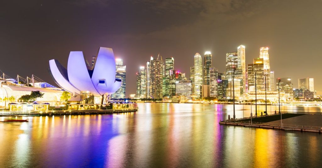
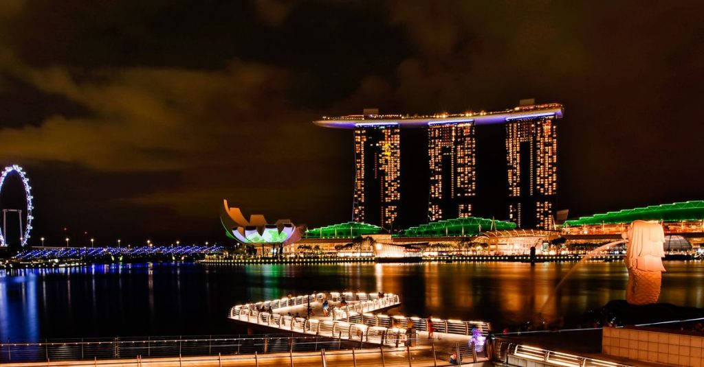
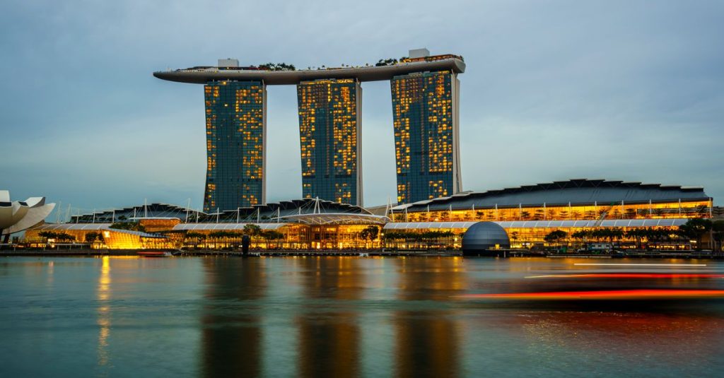
Marina Bay is an easy landmark for finding your way around the centre. The bay, the towers of the financial district and the landscaped waterfront create an area that is easy to recognise on a map. Nearby, Gardens by the Bay occupies a large area beside the water, so you should treat it as a visit in its own right rather than simply a point to tick off on the way.
Before planning a walk, identify the places that interest you and then map out a route. A tourist map may show attractions, while a neighbourhood map displays streets and pedestrian access more clearly. Straight-line distances do not always reflect the actual route: a bay, a wide avenue or the paths through a large garden can make the walk longer.
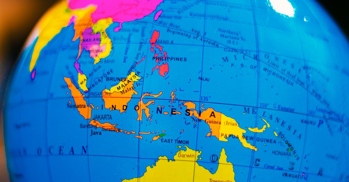
The page about Marina Bay and its main landmarks is a useful complement when reading this area. To place the city-state in its regional setting before planning your trip, also see where Singapore is located.

On a general map, keep the coastline and the main areas in mind rather than memorising every street. This method quickly shows you where the centre, cultural neighbourhoods, natural areas and airport are located.
Neighbourhoods give the map a human structure. Chinatown is near the centre and is known for its shopping streets, places of worship and historic buildings. Little India lies north of the central area: its shops, temples and restaurants form a dense district where a local map is more useful than a simple island map. See our guide to Chinatown’s temples and hawker centres for more detail.
Orchard Road is easy to identify as a major shopping corridor. On a map, it is more sensible to locate the street and the stations serving it than to look for a specific shopping centre before choosing your area. Pedestrian passages and station entrances can affect your route, especially when you are visiting several places in one day.
To understand the city beyond its attractions, compare tourist maps with neighbourhood plans. General maps help you choose your stops; detailed plans reveal streets, markets and places to eat. The guide to Chinese New Year in Singapore can also help you anticipate the atmosphere and crowds around areas associated with the celebrations.
A map is still an orientation tool, not an events calendar: busy streets and visitor routes may vary depending on the time of year. Check current local information before building an itinerary around an event or a particularly popular place.
Associating each neighbourhood with a specific activity makes your visit easier to follow: a heritage walk in Chinatown, a food discovery tour in Little India or a day of shopping along Orchard Road.
The MRT is the metro network to use for travelling between Singapore’s main areas. Its map shows lines and stations schematically: the graphic distance between two stops does not necessarily correspond to the actual distance. For a journey, first look for the station nearest your starting point, then the one serving your destination, and check whether a transfer is required.
The network reaches important areas including the centre, Chinatown, Little India, Orchard Road and Changi Airport. However, an attraction may be some distance from the station shown on the map. This is particularly relevant for large spaces such as Gardens by the Bay: allow time for walking and check the site’s pedestrian map rather than relying solely on the name of the stop.
Lines and transport arrangements may change. Before travelling, check the latest network information with the official operator; for fares and travel passes, also consult the official guidance at the time of your journey. The page about the Singapore MRT, its lines and fares will help you prepare these checks.
| Landmark on the map | What it helps you locate | Reading tip |
|---|---|---|
| Marina Bay | The waterfront and financial centre | Locate the attractions on each side of the bay separately. |
| Chinatown | A historic neighbourhood near the centre | Use a street map to plan a walking route. |
| Little India | A cultural neighbourhood north of the centre | Check the station and pedestrian access to your exact address. |
| Orchard Road | The main shopping corridor | Choose one section of the avenue to avoid detours. |
| Changi Airport | The arrival point to the east of the island | Check the current transport guidance before travelling. |
The MRT map provides the framework for your journey; a street map then helps you refine the final section. This combination prevents you from confusing proximity on the diagram with ease of access.
A map of Singapore is not limited to the central neighbourhoods. It also helps you locate parks, nature reserves and more distant areas, whose access may require separate preparation. Bukit Timah Nature Reserve and Pulau Ubin illustrate two very different types of outing: one is inland on the main island, while the other is offshore to the north-east.
For an excursion into a natural area, check several details on the map: the access point, available transport, the distance between the stop and the start of the trail, and the permitted paths. A hiking or park map is generally more suitable than a general tourist map. The page about the MacRitchie route and its natural surroundings provides more help when preparing an outing in the greenery.
Gardens by the Bay, near Marina Bay, offers another way to read the territory: the garden is close to the centre, but its size means you should choose the areas you want to visit in advance. A site map helps organise travel between its different sections and prevents you from underestimating the time needed for the walk.
Before setting out, check access conditions and any instructions with the organisations responsible for the site. Online maps are convenient for finding your way, but a map saved for offline use remains useful if the mobile network is weak or if you prefer to consult the route without using your connection.
Green spaces bring a different pace to your stay: they extend your visit beyond the centre and show why a map of the entire island is still necessary, even for a mainly urban trip.
The best format depends on the question you need to answer. A printable tourist map is suitable for viewing the main landmarks without checking your phone; an interactive map makes it easier to search for addresses and create routes; the MRT map helps organise metro journeys. None of these tools completely replaces the others.
To plan a day, start by grouping visits by area. For example, avoid alternating unnecessarily between stops at Marina Bay, Orchard Road and a more distant neighbourhood: this multiplies journeys and reduces the time available for the places themselves. Then locate the useful stations and walking routes, allowing some flexibility for entrances, crossings and breaks.
An offline map is particularly practical on arrival at Changi Airport, when you need to reach your accommodation or find an address. Save important places before leaving: your hotel, departure station, priority sites and any meeting addresses. To choose an area in which to stay, the guide to housing in Singapore can be compared with a transport map to assess daily journeys.
The most useful map is not necessarily the one with the most information: it is the one that clearly answers the next step of your itinerary.
Use a tourist map to locate neighbourhoods and attractions, the MRT map for metro journeys, and a local map for major sites or walks in the parks.
The network connects many important areas, including Chinatown, Little India, Orchard Road and the centre. Check the route and the station nearest your destination before setting out.
Changi is to the east of the island. To reach your accommodation, consult a transport map and check the current travel arrangements with the official organisations.
Yes. A map saved for offline use allows you to find neighbourhoods, addresses and routes even if internet access is temporarily unavailable.

Updated on 06/11/2026
Scroll to see more articles →