Singapore Laws: Chewing Gum, Fines and Banned Items
Discover the main Singapore laws on chewing gum, fines, vaping, drugs, medicines and daily rules to avoid penalties during your stay.
For 2026, Worldometer estimates Singapore’s population at 5,905,748 and publishes a density of 8,437 inhabitants per square kilometre, calculated using a land area of 700 square kilometres. These figures are consistent with one another, but they should not be confused with a Singaporean administrative count or an up-to-date measurement of the country’s entire area. The population is an estimate based on United Nations demographic projections, while the area depends on the geographical boundary used. To understand Singapore in figures, you therefore need to consider the date, the definition of the inhabitants counted and that of the territory measured. You can also read more about Singapore’s status as a country and city.
In brief
The table below brings together the indicators published by Worldometer for 2026. Its demographic series is based on estimates and projections from the United Nations Population Division, drawn from the 2024 revision of the World Population Prospects.
| Indicator | Published value | Organisation and reference | Correct interpretation |
|---|---|---|---|
| Total population | 5,905,748 inhabitants | Worldometer, 2026 | Mid-year demographic estimate |
| Land area used | 700 km² | Worldometer, 2026 profile | Denominator used for density |
| Population density | 8,437 inhabitants/km² | Worldometer, 2026 | Rounded national average |
| Median age | 36.8 years | Worldometer, 2026 | Age-distribution indicator |
| Population classified as urban | 100% | Worldometer, 2026 | Statistical classification, not a measure of built-up area |
An animated population counter does not instantly record births, deaths and arrivals in the country. Worldometer describes an algorithmic calculation fed by United Nations data: the movement of the counter therefore reflects a model.
In its annual series, the population refers to the middle of the year shown. For projected years, the United Nations uses, among other things, its medium-fertility variant: the apparent precision of the displayed number does not remove its estimated nature.
An administrative publication and an international projection may produce different totals without measuring exactly the same thing. The reference date, revisions and categories included must be examined before interpreting the figures as an increase or decrease.
For the latest national count, consult publications from the Singapore Department of Statistics, also known as SingStat. When planning a move to Singapore, this distinction mainly helps prevent you from confusing presence in the country with resident status: a total can only be interpreted alongside its definition.

Singapore’s area cannot be reduced to that of its city centre or its main island. Singaporean territory also includes outlying islands, and its measurement depends in particular on how inland waters are treated and on the date of the survey. For a geographical overview, see our guide to where Singapore is located.
The city-state lies at the southern tip of the Malay Peninsula. The Johor Strait separates it from Malaysia to the north, while the Singapore Strait borders its southern coast.
The 700 square kilometres used by Worldometer in its 2026 profile serve to calculate its density. This figure should not be presented as an up-to-date administrative measurement of the entire country.
Check Population, for its part, gives an area of 733 km² in its 2024 profile. These figures are not enough to demonstrate a change in the territory: comparing them requires checking the geographical definitions and measurement dates, rather than looking only at the year displayed on each profile.
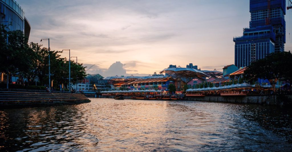
Land-reclamation work has altered Singapore’s coastline. Marina Bay and the port areas illustrate the importance of coastal development in the country’s organisation, without allowing every statistical difference to be automatically attributed to land reclaimed from the sea.
For a recent national measurement, check SingStat’s official series and the land information published by the Singapore Land Authority. An old map remains useful for understanding the geography, but not necessarily for measuring the coastline’s current outline.
This distinction also matters when reading tourist maps: a reservoir, an industrial area and a residential neighbourhood occupy space without serving the same function. Area describes an extent; it does not measure the space available for housing.
Population density is the number of inhabitants divided by the area used. Worldometer’s figures for 2026 are consistent with one another: its estimated population divided by its land area produces the published density after rounding.
The calculation becomes misleading when a recent population figure is paired with an area based on a different definition. To compare Singapore with another country, you should keep geographical and demographic conventions as similar as possible.
A national average does not describe the actual distribution of residents. Reservoirs, natural areas, port facilities and the airport occupy land that is not residential neighbourhoods.
By contrast, residential developments concentrate homes in high-rise buildings. A sector can therefore accommodate many residents while retaining pedestrian paths, gardens and communal facilities at the foot of the buildings.
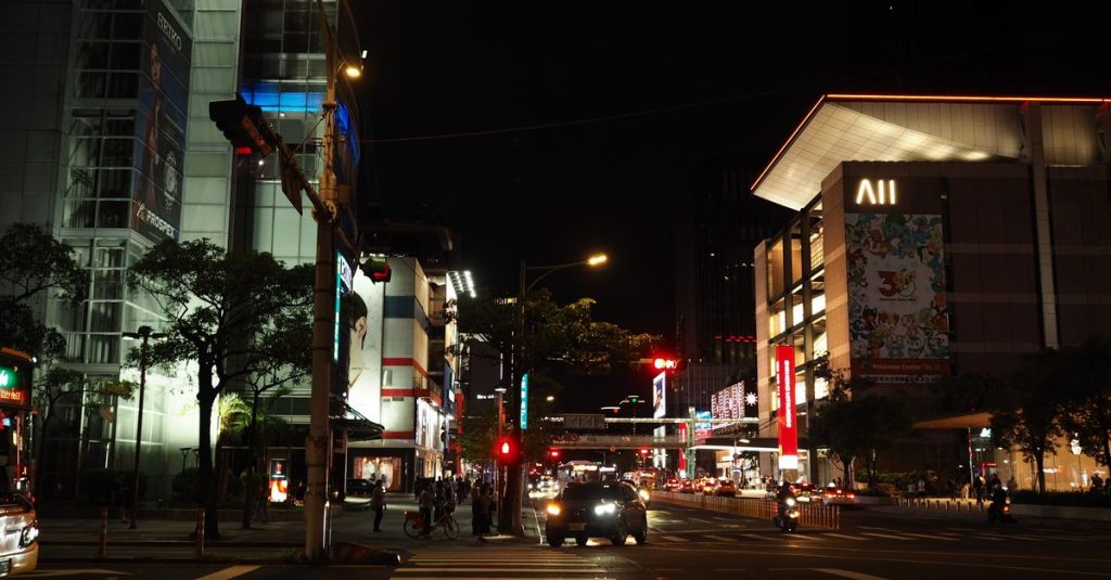
Crowds also depend on the time of day and how places are used. The business district receives workers during the day, while a shopping area such as Orchard attracts visitors who do not necessarily live nearby.
Urban density does not directly indicate the size of flats, noise levels or the number of people per household. These factors must be considered separately when assessing living conditions.
Likewise, the 100% urban population indicated by Worldometer for 2026 does not mean that every part of the land is built up. The classification concerns the population, not the proportion of concrete or vegetation.
To explore these contrasts, things to do in Singapore include both built-up neighbourhoods and natural areas. Demographic concentration and greenery are not incompatible.
In Singapore’s statistics, the word “resident” has a precise meaning. It includes citizens and permanent residents, while the total population also includes non-residents, depending on the scope of the publication.
Non-residents include foreigners present for work, study or family reasons. A visitor passing through should therefore not automatically be treated as someone included in the demographic count.
Demographic change results from births, deaths and migration flows. An increase in the total does not necessarily mean an increase in births: arrivals and departures can also significantly change the population.
Net migration is the difference between immigration and emigration. In a statistical series, it may correspond to an average over a period rather than the movement observed only during the year shown; this convention should be checked before making comparisons.
You must also distinguish an annual change from an annualised rate calculated over several years. The latter smooths out variations and may conceal a temporary break linked to economic conditions or international travel.
The median age of 36.8 years published by Worldometer for 2026 divides the population into two equal groups: half is younger and half older. It is neither the average age nor the most common age.
The age structure also depends on the population covered: a total population that includes foreign workers does not necessarily have the same profile as citizens alone. Likewise, proportions by ethnic group calculated among residents should not automatically be extended to everyone present in the country.
For personal procedures, check the current rules with the Immigration & Checkpoints Authority or the Ministry of Manpower, depending on the status concerned. A statistical category never, by itself, creates a right to stay.
The country’s small size does not guarantee short journeys. The location of your home, connections and walkable access to stations matter more than the distance shown on a map.
When choosing a neighbourhood, examine an actual journey to your workplace rather than a radius around the centre. Our guide to transport and mobility helps you organise this comparison; timetables should be checked with the relevant operators.
National density does not allow you to infer the size or comfort of a flat. Orientation, ventilation, proximity to a main road and the layout of the development are separate criteria.
Public-housing neighbourhoods, commonly known as HDB estates, show how high-rise housing, shops and facilities can be grouped together. To compare the options, our guide to living in Singapore complements the reading of maps.
Limited land contributes to property constraints, but it does not explain the cost of living on its own. The type of accommodation, eating habits and transport directly influence a household’s expenses.
Singapore’s budget and cost of living should therefore be considered by category, without turning high density into an automatic estimate of expenses. For public or regulated prices, check the amounts with the relevant official organisation.
Finally, footfall in shops, on public transport and in leisure areas varies according to both location and time. Everyday reference points in Singapore help connect national averages with actual habits: for comfortable living, the neighbourhood scale is the most practical.
Worldometer publishes an estimate of 5,905,748 inhabitants for 2026, based on the United Nations demographic series. This figure should not be confused with a national administrative count; consult SingStat for its latest official publication.
It depends on the indicator. Worldometer uses a land area of 700 km² in its 2026 profile to calculate density. For an updated national area, check the measurement and its definition with SingStat or the Singapore Land Authority.
Worldometer gives 8,437 inhabitants per square kilometre for 2026, based on its estimated population and land area. This national average does not describe the residential concentration in every neighbourhood.
No. The territory includes natural areas, reservoirs and non-residential sectors, among other things. The urban classification of the population does not mean that the entire surface of the country is built up.
Updated on 16/10/2026
Scroll to see more articles →