Singapore Laws: Chewing Gum, Fines and Banned Items
Discover the main Singapore laws on chewing gum, fines, vaping, drugs, medicines and daily rules to avoid penalties during your stay.
Singapore is in Southeast Asia, off the southern tip of the Malay Peninsula. Malaysia is its immediate neighbour to the north, while Indonesia’s Riau Islands lie south of the Singapore Strait. Close to the Equator, this island country occupies a pivotal position between the Indian Ocean’s shipping routes and those of the South China Sea.
Its name refers both to an independent state and its main city. On a world map, the territory looks tiny; locally, however, it includes residential districts, a financial centre, port facilities, nature reserves and outlying islands. To understand its location, you need to distinguish between a world map, a regional map and an urban plan. See Singapore’s area, population and density in figures.
These different scales also explain daily life: links with Malaysia, sea connections to Indonesia, the role of Changi Airport and the importance of public transport. Apparent proximity does not always predict a journey, however: a strait, border or interchange can substantially alter the route.
In brief
To locate Singapore on the world map, first find Asia, then the peninsula extending south from Thailand through Malaysia. The city-state lies just offshore from its southern tip, where mainland Asia meets the Indonesian island world.
This position avoids a common misunderstanding: the country belongs neither to China nor to the Japanese archipelago. It is much farther south, in a region where peninsulas, islands and sea passages strongly shape trade.
Southeast Asia includes both a mainland and an island region. Singapore lies at the junction between them: it faces the Malay Peninsula to the north and the archipelagos to the south.
On a globe, the Equator passes slightly south of the main island. This location explains its tropical surroundings, and why European seasonal markers are not especially useful when planning a stay: the distinction between hot summer and cold winter does not organise the climate here.
To the west lie the Strait of Malacca and then the Indian Ocean; eastwards, shipping routes lead to the South China Sea. Australia is to the southeast, while India lies west and northwest, across a vast maritime area.
From Europe, imagine a destination far to the east but also much closer to the Equator. This difference in both longitude and latitude helps explain the time difference and the change in climate.
Singapore is an independent country. Its government, institutions and borders are separate from those of Malaysia and Indonesia, even though economic and personal ties with these neighbours are close.
The term “city-state” describes a national territory organised around a major metropolis. It does not mean that every area is built up: woodland, reservoirs, wetlands and less urbanised islands are also part of the country.
The capital has the same name as the state, which can make maps and forms confusing. Our page about Singapore as a country and a city explains this distinction and its practical consequences.
A world map shows the general position but hides territorial detail. Depending on the representation, the country’s name may even take up more space than its drawn surface; this does not indicate its actual size.
A regional map is needed to distinguish the Malay Peninsula, Sumatra and the Riau Islands. An urban plan locates districts, stations and facilities; it answers a different question from that of Singapore’s global position.
This progression of scales is a useful way to prepare for travel or relocation. The world map locates the destination; the regional map explains its links with neighbouring territories.
Singapore’s neighbouring countries are Malaysia and Indonesia. Their proximity is clear on a regional map, but their geographical relationship with the city-state differs: Malaysia can be reached by road, while Indonesia is reached notably by sea.
These stretches of water are not simply empty spaces between landmasses. They contain borders, shipping channels, port activities and coastal ecosystems whose different uses must coexist.
To the north, the Johor Strait separates the main island from the Malaysian state of Johor. Johor Bahru, on the opposite shore, is an essential reference point for understanding cross-border travel and the region’s daily exchanges.
The road crossings at Woodlands and Tuas connect the territories, but they do not function like ordinary streets between districts. Crossing means passing through an international border, with checks whose arrangements should be verified with the Immigration & Checkpoints Authority and the relevant Malaysian authorities. See our guide to travelling from Singapore to Malaysia by bus or train.
This distinction matters when estimating a journey. A destination may look close as the crow flies but still require specific planning, since travel time also depends on traffic and border procedures.
To the south, the Singapore Strait separates the city-state from Indonesia’s Riau Islands. Batam and Bintan are among the most useful regional landmarks for understanding this island environment.
These islands belong to Indonesia: they are neither outlying districts nor Singaporean dependencies. A stay there is therefore an international journey, even when the sea crossing appears short on the map.
Geographical proximity encourages passenger links and economic exchanges. It does not guarantee a service from every terminal or a connection suited to every destination: check times with the maritime operator and formalities with the relevant immigration authorities.
The Strait of Malacca extends between the Malay Peninsula and Sumatra, northwest of the city-state. It should not be confused with the sea passage directly south of the main island: these are separate but connected areas.
Together, these passages form part of a route between the Indian Ocean and the South China Sea. This helps explain the country’s commercial role: ships can access port facilities and services close to a major traffic route.
Geography therefore creates an opportunity, while infrastructure makes it usable. Terminals, logistics areas and water access show how an island territory can connect to markets far away.
| Landmark | Relative position | What it helps explain |
|---|---|---|
| Johor and Johor Bahru | North | Malaysia’s proximity and cross-border travel |
| Batam and Bintan | South and southeast | Indonesia’s island environment |
| Strait of Malacca | Northwest | Sea access towards the Indian Ocean |
| Singapore Strait | South | Navigation between the western passages and the South China Sea |
When planning a regional trip, also look into excursions around the city-state. The border, rather than apparent distance, determines the preparation required.
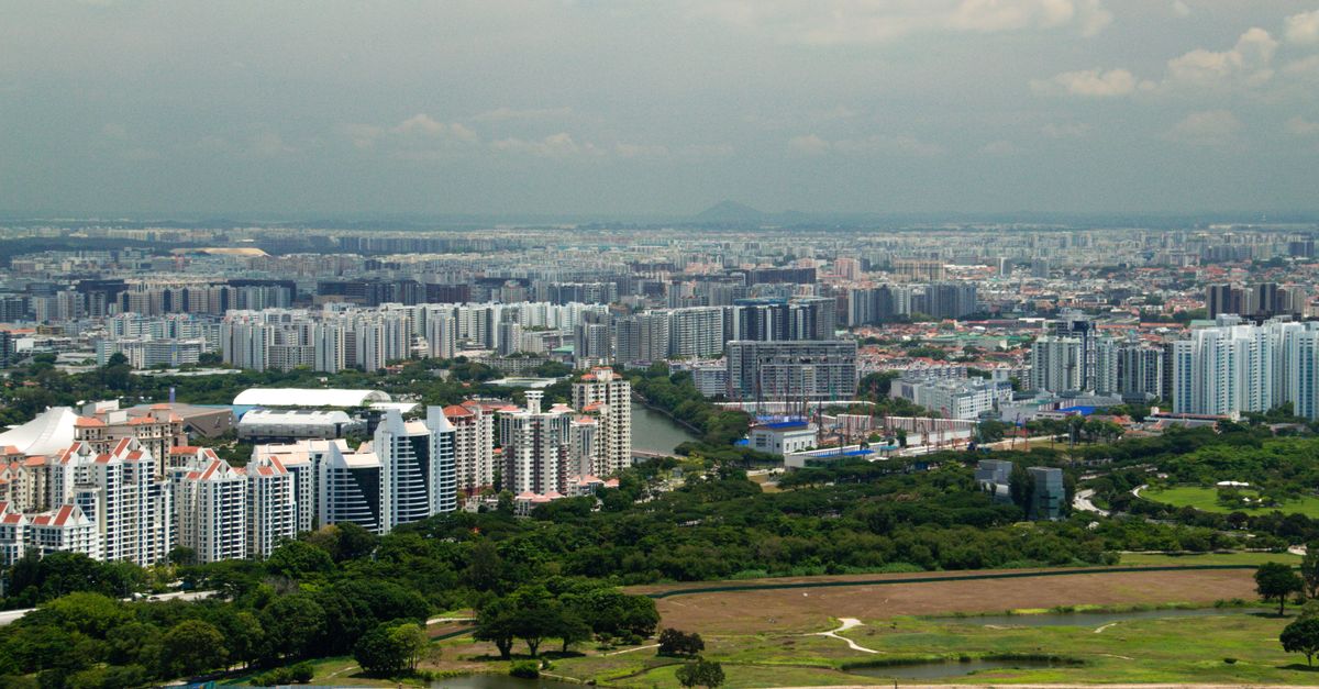
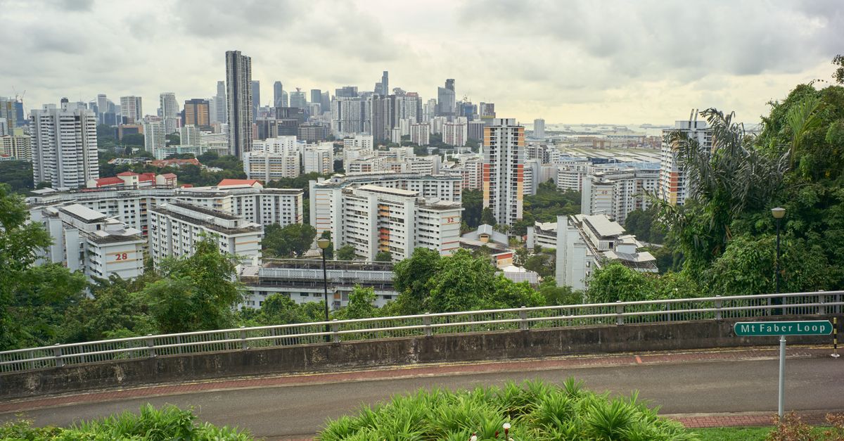
Singapore’s geography combines a highly urbanised main island, outlying islands and a developed coastline. Reducing the territory to its skyline would overlook its wooded hills, reservoirs and coastal areas.
The landscape reflects both natural conditions and major human changes. To read a physical map, you must therefore observe waterways and elevations, as well as reclaimed land, basins and infrastructure.
The island of Singapore contains most of the urban area and major facilities. The outlying islands have different functions: some are associated with leisure, others with industry, conservation or uses with controlled access.
Sentosa is an island integrated into the tourist area, with leisure facilities and connections to the urban area. Pulau Ubin has a less urbanised landscape, while Jurong Island is an industrial environment; sharing an island setting does not mean having a comparable experience.
A tourist map may mainly highlight places open to visitors. A general map of the territory also shows technical areas and islands that are not ordinary walking destinations.
The terrain is generally low, with no mountain range. Hills do exist, particularly around Bukit Timah, and the wooded central areas contrast with the heavily built-up districts in the south.
This topography influences land use: reserves and reservoirs occupy a visible place inland. On a map, they can interrupt urban continuity and require routes around them rather than a direct journey.
Land reclaimed from the sea has changed the country’s outline. Land reclamation creates land surfaces from areas that were previously maritime, notably to accommodate urban, industrial or transport development.
This is why an old map may show a different coastline from a recent document. For an up-to-date area, consult publications from the Singapore Land Authority or the Singapore Department of Statistics, checking the date and the area covered.
Heat and humidity characterise the local climate throughout the year. Changes in rainfall and wind, linked notably to the monsoons, are more useful when planning activities than French seasonal categories.
Bright skies do not rule out a shower or thunderstorm later in the day. For a walk along the coast or in a reserve, check forecasts and alerts from the Meteorological Service Singapore rather than inferring conditions from the travel period alone.
Green spaces provide shade but do not remove humidity or heat exposure. Taking water, breaks and a weather-appropriate route is part of planning, especially when the route moves away from shops and shelter.
Our guide to Singapore’s climate and seasons helps you adapt outings to this environment. The map shows distances; terrain, vegetation and weather also determine the effort needed to cover them.
A map of Singapore becomes genuinely useful when it distinguishes the centre, residential districts, activity areas and major natural spaces. The territory is compact, but urban functions are not evenly distributed across the island.
The best approach is to identify the main hubs first, then add the transport network. This avoids choosing accommodation simply because it looks central on an image, without considering the journeys it requires.
The financial centre and Marina Bay are in the southern part of the main island. Office towers, the bayfront and Gardens by the Bay are familiar visual landmarks, but they represent only part of the urban area. For views from above, see our guide to Marina Bay Sands and the SkyPark.
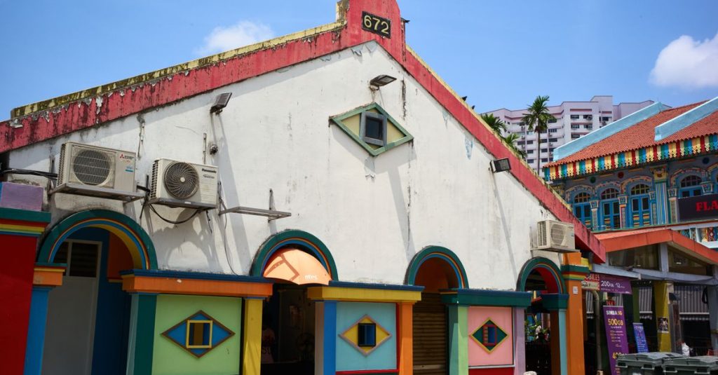
Chinatown, Little India and Kampong Glam reveal other dimensions of the city: built heritage, places of worship, shops and culinary traditions. They should not be understood as rigid borders between communities, since people and practices overlap throughout the country.
For sightseeing, their location makes it easier to group walks without repeatedly crossing the island. A route can also be based on districts and places where you can discover local food, rather than on monuments alone.
Changi is the main landmark in the east. Its airport explains the area’s importance for international arrivals, but the east also includes residential districts and a coastline used for leisure.
In the west, Jurong combines economic activity, facilities and residential areas. It would be reductive to treat the whole area as industrial: it must be read by distinguishing its individual districts and destinations.
In the north, Woodlands is a reference point for the link with Malaysia. This is particularly relevant to people planning border crossings, but it does not automatically make the area suitable for daily journeys to the centre.
The geographical centre includes reserves and reservoirs around which urban routes are organised. Being in the middle of the island does not therefore mean being in the middle of useful journeys.
A metro map is schematic: it prioritises readable lines and interchanges, not an exact representation of distances. Two nearby stations on the drawing do not, by themselves, show the walking distance between their entrances.
To assess an address, identify your workplace or place of study, the shops you need and connecting routes. Then check interchanges and the journey between the station and the building’s actual entrance.
A location that suits a tourist stay will not necessarily meet a student’s or employee’s needs. The best location is the one that efficiently links the places you actually use, not the one that looks most central on paper.
The city-state’s geographical position affects arrival from France, the pace of a stay and regional travel. It explains its appeal as an urban destination, as well as its role as a gateway to other parts of Asia and Australia.
This hub function does not make all routes equivalent. Distinguish international accessibility, the transfer to your accommodation and the conditions applying to a possible trip to a neighbouring country.
Changi Airport is in the east of the main island. When planning your arrival, first locate your final destination: a hotel near Marina Bay, accommodation in the west and a university residence will not require the same transfer.
Flight time depends on the route, air-traffic conditions and the airline’s schedule. Check times and the terminal with the carrier and Changi Airport Group, then use our Changi Airport guide to plan the rest of the journey.
The possibility of connecting to another destination does not mean that visiting the city during a stopover is always sensible. Available time, airport procedures and entry conditions must be considered separately.
The difference in longitude with Europe creates a significant time difference. When arranging a call, arrival or remote meeting, work from local departure and arrival times rather than relying only on journey duration.
Metropolitan France changes its clocks seasonally, unlike the city-state. Our page on Singapore time and the difference with France helps you check the correspondence for the period concerned.
This difference also affects daily routines. On arrival, a flexible programme is generally more realistic than immediately undertaking long walks, particularly when the time change combines with heat and humidity.
Malaysia and the Indonesian islands can be included in a regional trip, but their proximity does not remove the need for administrative checks. Conditions depend notably on your travel document, nationality, reason for travel and the rules in force.
Check the Immigration & Checkpoints Authority for Singapore’s conditions and the immigration authorities of the country you visit. Also consider the conditions for returning: leaving the territory and entering it again are separate administrative steps.
A route shown on a map never replaces confirmation from the relevant operator that it is operating.
Your choice of district affects the journeys required and the services available nearby. When comparing addresses, consider the overall cost of daily life rather than accommodation alone: transport, food and personal needs should be assessed together.
An address should be judged as much by the journeys it avoids as by its position on the map.
Singapore is in Asia, in the region of Southeast Asia. Its island territory lies off the southern tip of the Malay Peninsula, close to the Equator.
No. Singapore is an independent city-state. It has close relations with neighbouring Malaysia, but its own institutions and borders; it is not part of China.
Malaysia is to the north, beyond the Johor Strait. Indonesia is to the south, notably through the Riau Islands, including Batam and Bintan.
The Strait of Malacca extends between the Malay Peninsula and Sumatra. The Singapore Strait lies directly south of the city-state; the passages are connected and form part of shipping routes between the Indian Ocean and the South China Sea.
A regional map helps you understand Singapore’s proximity to Malaysia and Indonesia. For travel within Singapore, use a district map alongside the transport network, then check routes to the exact addresses.
Updated on 22/10/2026
Scroll to see more articles →